Cycle Network Plan Data Analysis – Ealing Council

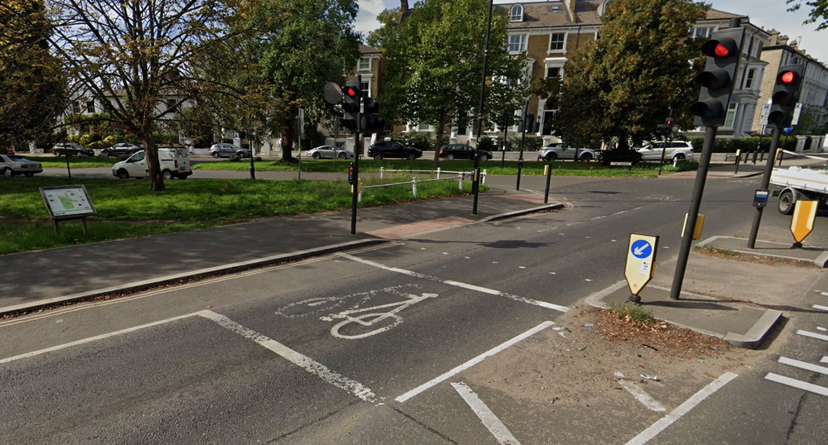
The Transport Planning Service (TPS) Team at Ealing Council commissioned Hup Initiatives to analyse ‘free-form’ feedback from 3x questions included in a recent public consultation exercise (part of plans to develop medium and long-term improvements to cycle infrastructure in the borough).

The 3 questions were:

  1. What prevents you from Cycling, or Cycling more confidently?
  2. Are there any existing routes which need improving?
  3. Where would you like to Cycle?

The Process:

Consultants at Hup Initiatives led on the following:

  • Developed an initial Matrix/ ‘List of Headings’ to tabulate comments against (for the 3x questions).
  • Establish a list of typical issues/ suggestions that constitute: a Quick, Short-Term, or Longer -Term scheme/ issue.
  • Reviewed each comment, tabulating and listing according to content. Comments provided alongside mapped pin drops to help with future data filtering and hot spot identification.
  • All comments/ suggestion identified as either: Quick Win, Short-Term or Long-Term will also be prioritized (e.g. 1 to 3) with improvements to safety and usability being a major focus.
  • The identification of ‘Hot Spot’ schemes.

Outcomes:

The creation of a Master Spreadsheet that very easily (with the use of basic filter functions) identified/ prioritised schemes and/or initiatives for Quick, Short & Long-Term improvements to cycling in the borough
Train Station Cycle Parking Audit – Croydon Council

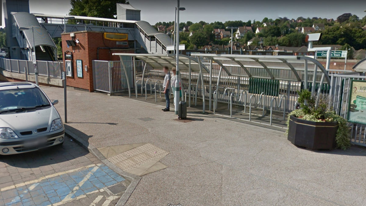
Croydon Council Commissioned Hup Initiatives to lead on the auditing and reporting of cycle parking provision at 15 train stations located in the borough. The purpose of the exercise was to:

  • provide councillors/ Council Officers information on existing/ potential cycle parking provision and current utilization.
  • highlight stations in most need of improved cycle parking provision.
  • Use the report as a working document, e.g. take to site and use for future cycle parking installation phases.

The stations included in the audit are listed in the table below

Coulsdon SouthPurley OaksSouth Croydon
Coulsdon TownReedhamThornton Heath
KenleyRiddlesdownWaddon
Norwood JunctionSandersteadWest Croydon
PurleySelhurstWoodmansterne
Table 1: Rail Stations audited

Summary of Findings:

  • 466 cycle parking spaces were identified within 50m of the station entrances.
  • Utilisation of existing cycle parking facilities across the stations is approximately 25%.
  • Across the whole of Croydon, existing capacity appears to be meeting demand subject to further monitoring however Thornton Heath requires immediate expansion.
  • 12 stations had existing covered cycle parking provision. Norwood Junction, Reedham and Thornton Heath stations should be considered for the installation of covered provision in the near future.
  • Ease of use was found to be good at most stations however older facilities frequently do not meet LCDS standards particularly in regards to the provision of wide / non-standard bays.
  • 3 of the stations had abandoned items secured to stands.
  • Improvements to the cycle parking facilities have been outlined for all but 1 of the 15 stations.

Walking Map Project – Ealing Council

Ealing Council’s School Travel Team commissioned Hup Initiatives to lead on the production of Active Travel Maps for schools in the Borough.

The walking maps were created using a programme called SALI (Pindar Creative). The process required desktop research (utilizing G/Earth to gain an understanding of areas surrounding the schools + review of Control Parking Zone Maps to identify possible Park & Stride locations); pupil postcode plots to identify the routes to school; a site visit to select specific walking routes/ ‘Park & Stride’ locations (and times) and producing the maps on SALI.

Hup Initiatives successfully produced 20 School Walking Maps on time and to budget.